Chamonix > Bel-Lachat hiking trail
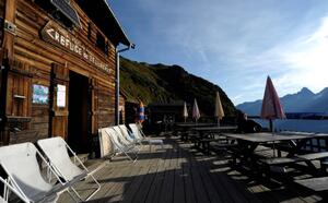
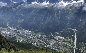
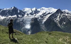
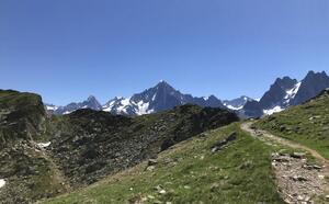
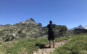
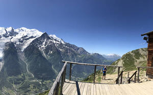
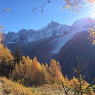
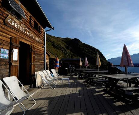
Scenic viewpoint over the Mont Blanc Massif at the edge of the Aiguilles Rouges and Carlaveyron Nature Reserves.
From the Route des Moussoux, take the Montée des Moëntieux to the Petit
Balcon Sud, cross it and continue on a winding path through undergrowth to the junction with the path from Bois Prin and Les Bossons. Turn right, first into the forest, then through an avalanche corridor to Plan-Lachat (ruins) (1,576 m) 1 h 30. Follow the path into the clearing, leaving the sentier des Gardes on the right, cross a small forest and continue past a large bell tower over the vegetation on a number of switchbacks to Bel-Lachat.
Other routes are possible from Les Bossons, Les Houches or Le Brévent.
Further information available from the Tourist Office or the Office de Haute-Montagne and in our trail guide.
Please note: trail conditions are subject to change, so check before you set off.
74400 Chamonix-Mont-Blanc
Closest train stop : Chamonix Aiguille du Midi train stop
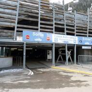
Closest parking : Les Moussoux / Saint-Michel car parks
