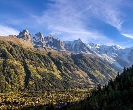
Hike to La Floria
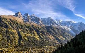
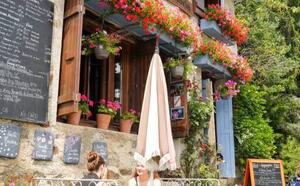
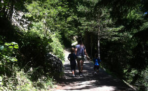
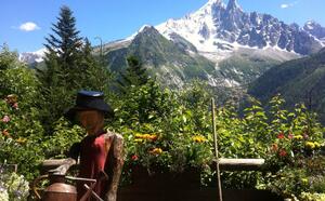
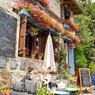
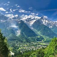
Family-friendly . Shaded trail. Creamery and restaurant at the end of the trail, with comfortable panoramic terrace facing the Aiguilles de Chamonix.
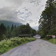
Along the road from Les Nants from Le Belvedere, head up Chemin de la Floria
(a forest track), leaving behind the footpath to La Charlanon on your left. You will go past the EDF power station (built in 1897) and then cross the Couloir des Nants. The path then joins the Petit Balcon Sud footpath. Follow it as far as the junction at 1,195 m altitude, then take the footpath on the left. This takes you up across Couloir de la Floria at 1,240 m and brings you out at the chalet.
Other itineraries are available from Les Tines or Les Praz.
More information at the Tourist Office, the High Mountain Office, and in our hiking guide.
Careful: path conditions may change - remember to check the latest information before setting off.
Subject to favorable snow and weather conditions.
74400 Chamonix-Mont-Blanc
Closest train stop : Chamonix Centre train station
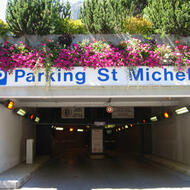
Closest parking : Le Savoy / Saint-Michel / Tennis car-parks
