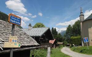
The Chemin des Villages walk
in Les Houches
Presentation
This path for pedestrians and cyclists allows you to cross the village without using the expressway.
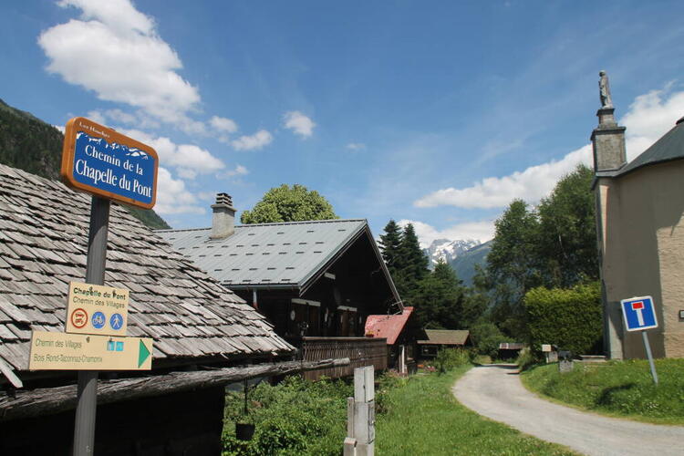
From the skating rink, go up Chemin des Longues, then turn left onto Chemin de la Tannuaz. Follow the Griaz road up to Chemin des Fleurs. Cross over to chemin du Platon, then downhill a few meters on route des Granges before forking right onto chemin Théobalde Couttet. Take the footbridge and follow the path to the hamlet of Pont. Follow the signs for Chemin des Villages / Taconnaz. Total distance: approx. 2.5km.
From Taconnaz, you can join another itinerary to extend your walk to Les Bossons, then to Les Gaillands, and finally to the entrance to Chamonix.
Distance
3.2km
Starting point altitude
1006m
Highest point
1070m
Elevation gain
89m
Elevation losses
90m
One-way timing
1h
Rates
Free of charge.
Opening dates
From 10/04 to 17/11 daily.
Subject to snow conditions.
Subject to snow conditions.
Location
74310 Les Houches
The Chemin des Villages walk
74310 Les Houches
Closest bus stop : La Griaz/Le Tourchet
Closest train stop : Les Houches train station
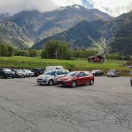
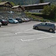
Closest parking : Tourchet / Ice-Rink / Olca car-parks
Closest train stop : Les Houches train station
Closest parking : Tourchet / Ice-Rink / Olca car-parks
