WHYMPR
Before you leave
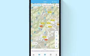
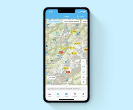
Discover more than 300,000 route descriptions worldwide, in the mountains and elsewhere, from sources such as Skitour, Camptocamp and tourist offices.
Filter by activity, level of difficulty, type of point of interest, to find the outing that's right for you.
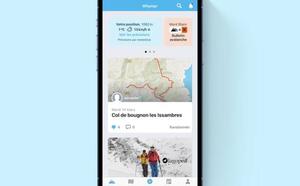
Find inspiration and observe recent conditions: over 150,000 users are on Whympr, sharing their outings.
Access a collection of topographic maps, including IGN, SwissTopo and slope inclinations
Download your route for offline consultation
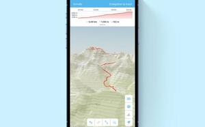
Create your tracks in advance of your outing and analyze the distance and gradient you plan to cover.
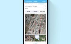
Consult Pro Topos for climbing, ski touring, alpinism, hiking (route descriptions) written by professionals and mountain guides.
Access detailed weather forecasts and check avalanche bulletins for your location or the summit you're aiming for.
Find out how to get to the start of the itinerary (check if there's a parking lot or if you can get there by public transport for a more eco-friendly trip).
Avoid protected areas to preserve sensitive flora and fauna by activating the "sensitive area" filter.
During your outing
Geolocate yourself on the map of your choice
Record your GPS tracks and keep track of your statistics (distance, time, altitude difference...)
Add your photos, which will be geotagged on the map
Comment on your outing (conditions, difficulties encountered...)
Share your outing with the Whympr community and on your social networks
After your outing
Create your outing to keep a record of your adventure
Access your logbook to view all your activities on a map
Find a dashboard of your outing statistics
Become a full-fledged member of a great community of mountain and outdoor sports enthusiasts.
74400 Chamonix-Mont-Blanc
