The Alpine Lakes hiking trail
in Chamonix-Mont-Blanc
Presentation
Further information
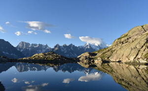
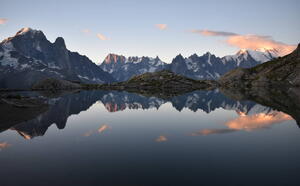
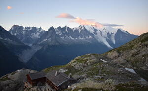
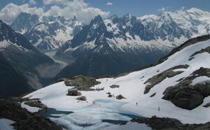
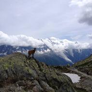
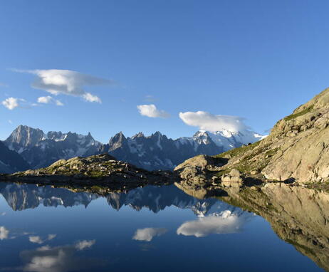
Whatever your hike, remember to take cereal bars, sufficient water, sunglasses, sun cream, a small first aid kit, as well as clothes adapted to your outing according to the season and the weather forecast.A long hike right in the middle of the Aiguilles Rouges Natural Reserve, giving fabulous panoramic views over Mont-Blanc. The main lakes comes one after the other: the Chéserys, Lac Blanc.
Access depending on meteorological conditions. For more information, contact the High Mountain Office of Chamonix: +33 (0)4 50 53 22 08.
Distance
11km
Starting point altitude
1429m
Highest point
2461m
Elevation gain
1050m
Elevation losses
1050m
Round trip timing
5h
Rates
Free access.
Opening dates
From 15/06 to 01/11.
Subject to favorable snow and weather conditions.
Subject to favorable snow and weather conditions.
Location
The Alpine Lakes hiking trail
2166 Route des Montets - Parking Tré le Champ
74400 Chamonix-Mont-Blanc
74400 Chamonix-Mont-Blanc
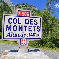
Access (by car): From Chamonix Mont-Blanc, follow signs for Martigny - Swiss border.
Access (Bus): By bus, take the Tour-Col des Montets (line N°1). Stop at Montroc.
Access (Train): Access possible from Montroc train station (1360m / Chamonix - Martigny-CH line).
Access (Bus): By bus, take the Tour-Col des Montets (line N°1). Stop at Montroc.
Access (Train): Access possible from Montroc train station (1360m / Chamonix - Martigny-CH line).
