Hike to the Chapeau viewpoint from les Tines
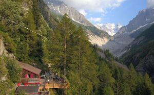
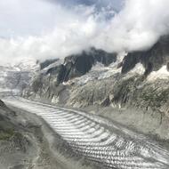
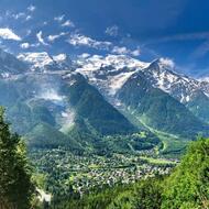
Viewpoint over the glacial lakes, the Gorges de l'Arveyron, the Aiguilles and the Chamonix valley.
Summer:
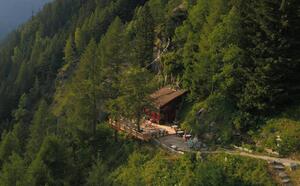
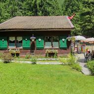
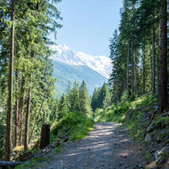
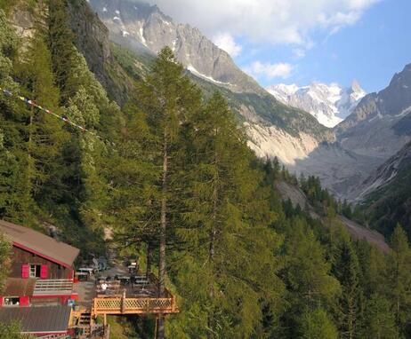
Opposite Les Tines SNCF station, enter the wood via Chemin de la Pierre n°2: listed site. A little above the reservoir, turn right on the Sources de l'Arveyron path, then, at the next intersection, turn left along the Chapeau itinerary. You'll find the "buvette du Chapeau" by the roadside. Continue past the buvette and you'll come to a lovely view of the Aiguilles de Chamonix.
Other routes are possible from Les Bois or Le Lavancher.
Winter:
Winter hiking with snowshoes, crampons or good boots. Please check snow conditions before setting off. The Chapeau refreshment bar is open weather permitting.
Further information available from the Tourist Office, the Office de Haute-Montagne or in our trail guide.
Please note: trail conditions are subject to change, so check before you go.
Trail access subject to weather conditions. For further information, contact the Chamonix High Mountain Office: +33 (0)4 50 53 22 08. Website: (http://www.chamoniarde.com/).
From 01/04 to 17/11, daily.
Trail access subject to weather conditions. For further information, contact the Chamonix High Mountain Office: +33 (0)4 50 53 22 08. Website: (http://www.chamoniarde.com/).
Subject to favorable snow and weather conditions.
74400 Chamonix-Mont-Blanc
Closest train stop : Les Tines train stop
Closest parking : Les Tines car-park
