Hiking : Towards the Refuge de Loriaz
Further information
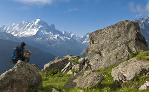
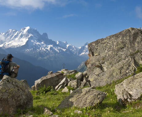
Whatever your hike, remember to pack cereal bars, plenty of water, sunglasses, sunscreen, a small first-aid kit, and clothing appropriate to the season and weather forecast.At an altitude of 2020m, this former mountain pasture in the heart of the Aiguilles Rouges massif offers exceptional panoramic views of the famous Aiguille Verte and the Mont-Blanc massif.
Overlooking the Vallorcine valley, you'll climb Montagne de Loriaz, in the foothills of the Vallon du Vieux Emosson (archaeological site).
The first part of the ascent takes place in the shade of the Vallorcine state forest, with some fine views between the spruce trees of the peaks around the Glacier d'Argentière (l'Aiguille Verte, les Drus and l'Aiguille du Chardonnet).
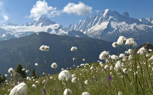
As you climb, the landscape gradually opens up. As you turn around, contemplate the northern part of the Mont Blanc Massif between the Glacier du Tour and the Glacier d'Argentière.
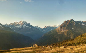
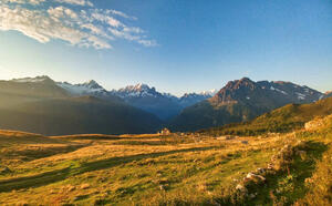
You'll soon reach the Chalets de Loriaz. These alpine chalets, recognizable by their alignment, bear witness to the area's former pastoral activity.
Since 1976, the mountain pasture has been used as a guarded refuge, so don't hesitate to take the time for a well-deserved gourmet break before beginning the descent to the Hameau de Couteray, your starting point.
Subject to favorable snow and weather conditions.
74660 Vallorcine
Park in the Couteray parking lot, at the start of the route.
