Hike to Aiguillette des Posettes
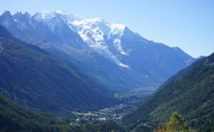
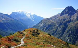
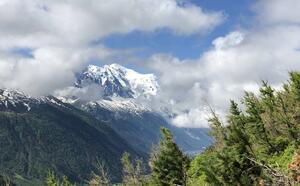
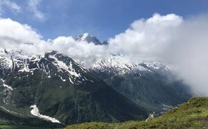
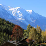
Fabulous views over the Chamonix and Vallorcine valleys. Wonderful panorama of Mont Blanc and of Le Tour Glacier, Le Buet and Les Perrons in particular. A TMB itinerary.
Near the bridge on the right bank of the Arve, take the path facing the slope. It splits in two
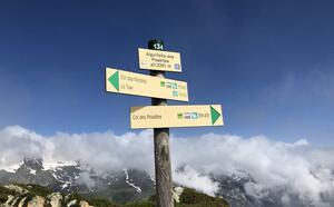
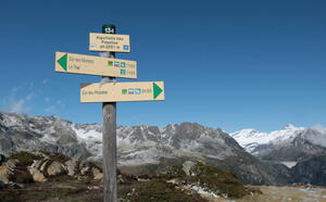
in two: go to the right in a small forest that quickly becomes clearer. Above the Tête de la Jorette, after many twists and turns, the path reaches the crossroads of the Pierre-Fendue (1,950 m): go up to the right, notice the paravalanches, reach the abandoned slate quarries, then the ridge that leads to the Aiguillette.
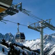
Another possible itinerary from the Col des Posettes at the arrival of the Vallorcine Télécabine. Pay attention to the opening dates!
More information available at the Tourist Office or the High Mountain Office and in our trail guide.
Warning: Trail conditions are subject to change, so please check before you leave.
Access depending on meteorological conditions. For more information, contact the High Mountain Office of Chamonix: +33 (0)4 50 53 22 08. Website : (http://www.chamoniarde.com/).
Subject to favorable snow and weather conditions.
74400 Argentière
Closest train stop : Montroc train stop
Closest parking : Le Tour car-park
